Did you see it?
We do a big deal in presenting the most stunning and interesting places around the world and explain the science behind it. We always try to go that little extra and get the story complete. In the beginning, of this year’s summer, the U.S. Geological Survey called for you to complete their story on landslides.
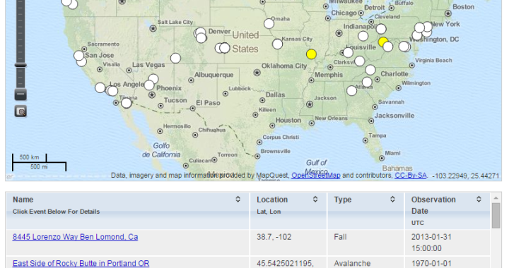
Every year one to two billion dollars in damage are caused by landslides. And they are asking you to report landslides you encountered to get a better understanding of this natural hazard.
Why is this such a problem?
In opposition to volcanoes or earthquakes, landslides are not confined to certain areas. In fact, the US are by far not the only place, where they pose a threat. Typically a landslide is a ground movement, where the original slope stability is affected and gravity does the rest to get the rock moving. The causes can be numerous and range from groundwater influence to earthquake-induced liquefaction. Also, landslides can be facilitated by human activities such as deforestation or vibration.
Just like the causes, the processes of the actual landslide can very different, however, put very simplistic you can imagine them as an avalanche of sediments and rock. (I beg the specialists not to rip me apart, since going into detail about the different processes would be too much right here.) They vary in size, velocity, force, composition and physical process of flow. Yet the force can be so tremendous that in 1958 they caused a tsunami with a wave-height of 500m (1700 ft – sic!) in Lituya Bay, Alaska. BBC did a documentary on this intimidating event.
See the short BBC documentary: http://amplt.de/bbctsunami
Since they are so variable and can happen in various places, monitoring landslides are near impossible. Now if you ever wanted to take part in a citizen science project, this is your time. Help this team of 20 people answer a couple of questions.
What can be the causes? Which regions are especially prone? How can people and property better be protected?
Did you see it?
http://landslides.usgs.gov/dysi/
-JSD
The photo shows a landslide in La Conchita, California from 2005. The rock from the slope flowed into the estates at the foot causing ten casualties.
Photo Credit: Mark Reid, U.S. Geological Survey
via The Earth Story’s Facebook Wall
Jesper Dramsch
Latest posts by Jesper Dramsch (see all)
- Juneteenth 2020 - 2020-06-19
- All About Dashboards – Friday Faves - 2020-05-22
- Keeping Busy – Friday Faves - 2020-04-24