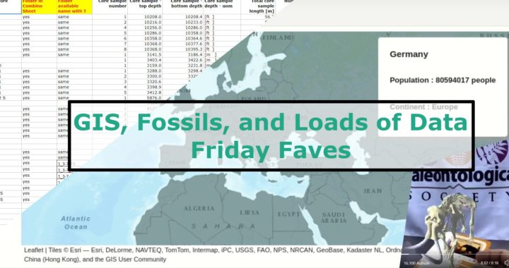
This week, we have loads of geoscience-y favourites. Between great Jupyter widgets, augmented reality and a huge new dataset to play with, in the Friday Faves. Geoscience and Python Martin Renou gave a fantastic talk about Jupyter Voila at EuroScipy. He tweeted out their newest developments in iPyLeaflet, which brings GIS capabilities to Jupyter. Once […]
Tag Archives: GIS
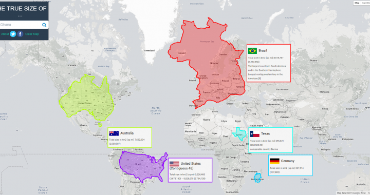
The True Size of Countries
The true size of countries changes our perception of the world. Maps have so many uses in modern society. Google Maps and the navigation included were the main reason I got my first smart phone. But maps have one significant flaw. Every map is a projection of a 3D object onto a 2D plane. That […]